
The Wednesday Morning Tremor Was Not an Earthquake but a Massive Landslide, USGS Says
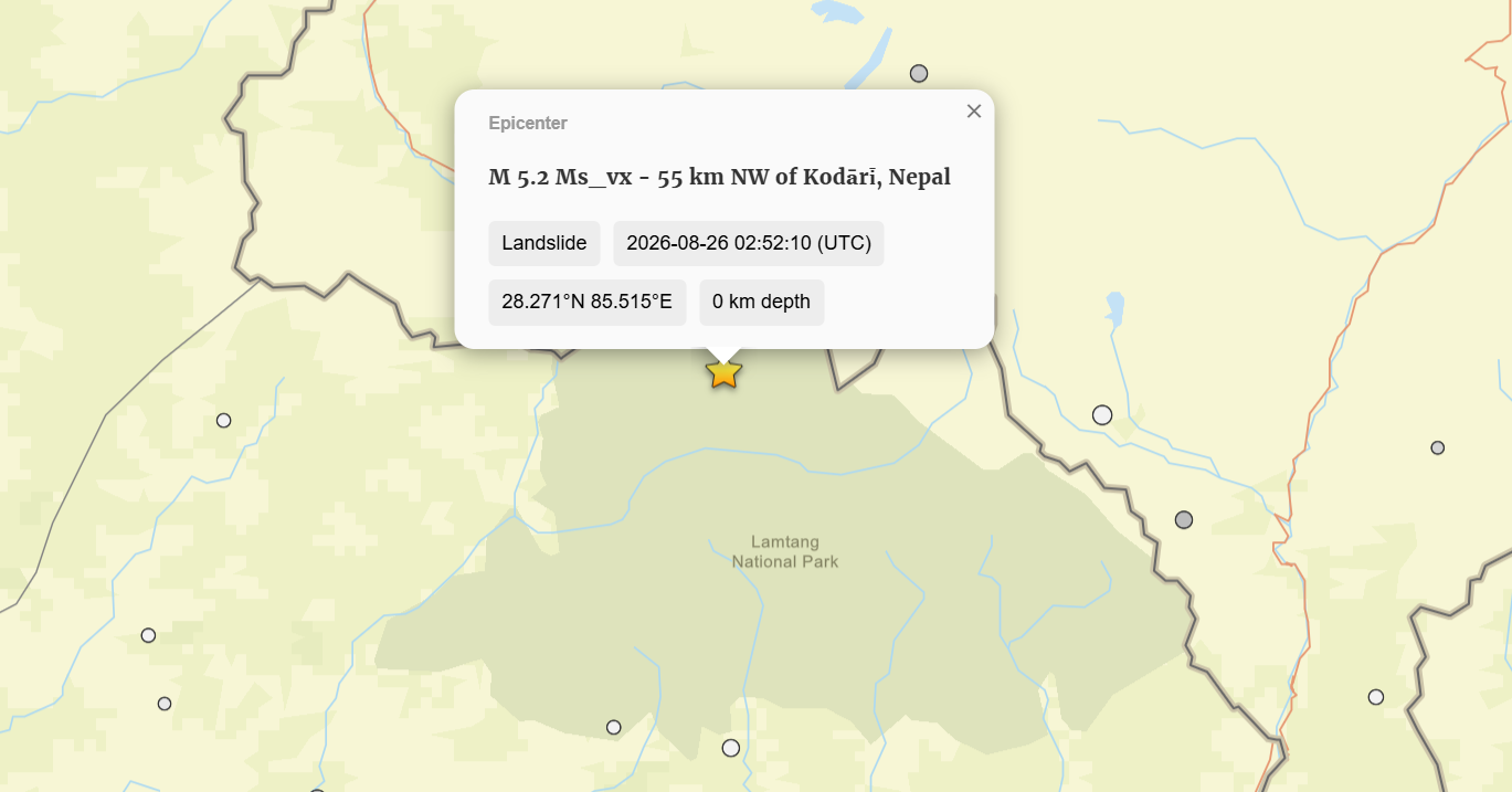
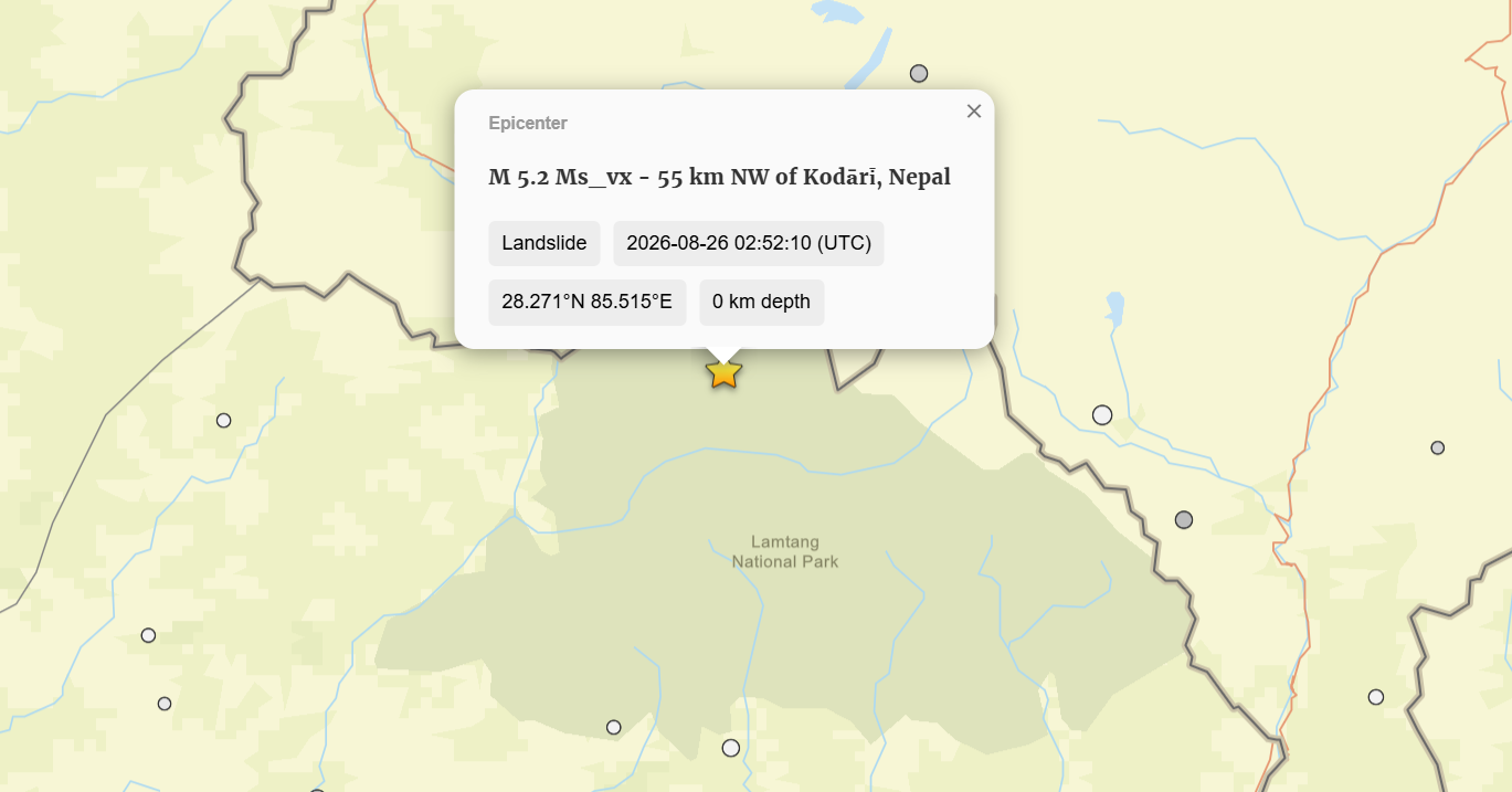
Kathmandu — The tremor recorded at around 8:37 a.m. yesterday, initially believed to have been an earthquake centered about 40 kilometers north of Rasuwa district, was actually caused by a massive landslide, the U.S. Geological Survey (USGS) said earlier today. Revising its initial report, the USGS said the massive landslide occurred on the Nepali side near the Chinese border. It said the force was generated when a large mass of rock and ice broke away from the Langtang mountain range on the Nepali side.
According to the USGS, a massive ice and rock avalanche near the Nepal-China border generated energy equivalent to a 5.2-magnitude earthquake. The extremely powerful energy caused the ground to shake strongly, leading seismic monitoring equipment to initially record the event as a major earthquake.
The National Earthquake Monitoring and Research Center had earlier reported that the tremor recorded this morning measured 4.5 on the Richter scale. However, the USGS has now revised its assessment, saying that what the seismic instruments detected was not an earthquake but a massive landslide.
The USGS said a huge mass of rock and snow had collapsed from the mountain. Local residents reported hearing a loud explosion early this morning, followed shortly afterward by intense ground shaking and a massive flood. Chinese surveillance cameras at the customs office near the border also reportedly captured the ground shaking before the flood arrived.
The flood reached the Rasuwa customs office within about 10 minutes of the tremor being felt. As the massive flow carried ice and rock debris along with it, the ice may have rapidly melted into water, transforming the landslide into a powerful flood that swept downstream and caused widespread destruction.